
The Best Neighborhoods in Lexington, KY: A Local's Guide
Updated September 2026
I have lived in Lexington for 26 years, the last eleven out in Masterson Station on the northwest side, and my sister and her family are over in Hamburg, so I spend a fair amount of time crossing town. This page is the comparison I wish someone had handed me: the twelve neighborhoods I have written full guides for, lined up on the facts you can actually check rather than the adjectives everybody uses.
Start with the table. It puts home age, the price range each guide states, walkability, the measured drive to downtown, trash day and council district side by side in one place. Then read the groups underneath, which sort the twelve by what kind of place they are, and follow the link into whichever full guide you want the detail on. If your question is really whether to move to Lexington at all rather than where to land, the moving to Lexington guide is the better starting point.
Lexington neighborhoods compared
| Neighborhood | Part of town | Zip | Homes mostly built | Typical home price | Walk to dinner? | Miles to downtown | Trash day | Council district |
|---|---|---|---|---|---|---|---|---|
| Downtown Lexington | Central | 40507 and 40508 | varies | $200K to $500K+ | Yes | about 0.5 mi | Varies by street | 1, 3, and 5 |
| Bell Court | Central | 40508 | Around 1900 | $170K to $800K | Yes | about 1 mi | Tuesday | 3 |
| Chevy Chase | Central | 40502 | 1920s-1960s | $600K to $1.2M+ | Yes | about 1.5 mi | Monday or Friday, by block | 3 and 5 |
| Ashland Park | Central | 40502 | 1904-1930 | $600K to $3M+ | Yes | about 1.5 mi | Tuesday and Friday, by block | 5 |
| Idle Hour | East | 40502 | 1950s-early 1960s | $200K to $400K | Yes | about 3 mi | Tuesday | 5 |
| Lansdowne | South | 40502 | 1950s-1970s | see guide | Yes | about 3.5 mi | Monday | 3 |
| Southland | South | 40503 | - | see guide | - | about 3.5 mi | Monday | 10 |
| Beaumont | Southwest | 40513 and 40504 | - | see guide | - | about 4.5 mi | Thursday | 10 |
| Masterson Station | Northwest | 40511 | Mid-1990s onward | $200K to $400K | Some | about 5 mi | Thursday | 2 |
| Hamburg | East | 40509 | varies | $250K to $700K+ | Some | about 5.5 mi | Varies by street | Varies |
| Palomar | Southwest | 40513 | - | see guide | - | about 5.5 mi | Thursday | 9 |
| Andover | East | 40509 | varies | $400K to $800K+ | Some | about 6.5 mi | Tuesday and Friday, by block | 6 and 7 |
Where each column comes from, as of September 2026: part of town and walkability from the neighborhood guides on this site; zip codes verified against two sources each and listed on the guides; home age and price range quoted from what each guide already states, with “varies” where the sources disagree, “see guide” where a guide gives no figures, and a dash where a guide does not say yet; miles measured as a driving route to the courthouse block on North Limestone and rounded to the half mile; trash day and council district generated from the city's collection areas and district boundaries.
The twelve, grouped by what they are
Grouped by location and housing stock, which is what you are really choosing between.
Historic and walkable
Older housing stock inside or just outside downtown, on a street grid with sidewalks, and close enough to a commercial strip that dinner does not require the car.
Chevy Chase
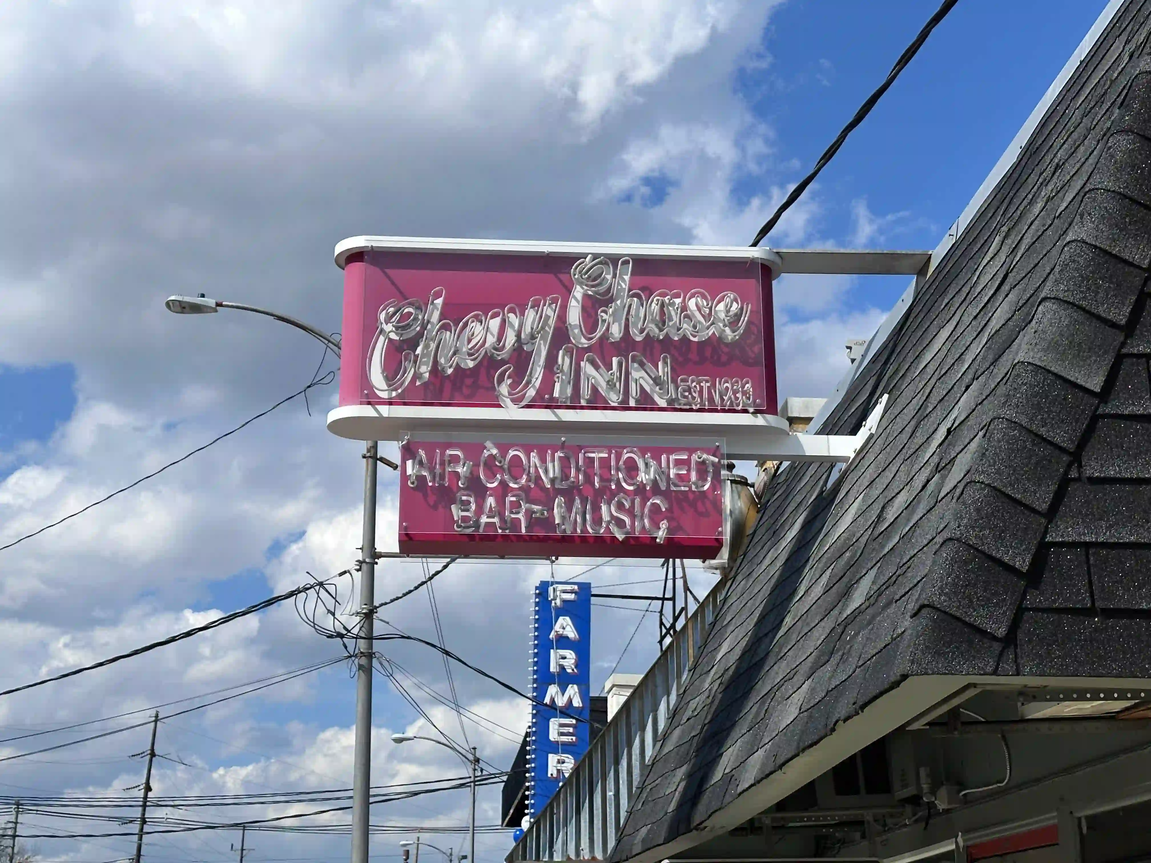
About a quarter of a square mile and roughly a thousand homes, tucked between Cooper Drive, Tates Creek Road, Fontaine Road and Chinoe Road, with the University of Kentucky campus along one edge. The houses are bungalows, Cape Cods and Tudor Revivals mostly built between the 1920s and 1960s, on tree-lined streets with sidewalks that actually connect to somewhere. That somewhere is Euclid Avenue, the commercial spine: Charlie Brown's at 816 Euclid, the Chevy Chase Inn, open since 1933 and the oldest continuously operating bar in Lexington, and Bourbon n' Toulouse. A few blocks over, Romany Road has its own small corridor anchored by A.P. Suggins. Henry Clay Simpson named the place in the 1920s after a Maryland golf club, on land that had been part of Henry Clay's Ashland estate. Prices are among the highest in the city and turnover is low.
Best for: walking to Euclid Avenue, 1920s and 1930s houses, a short walk to UK campus
Read the Chevy Chase guide →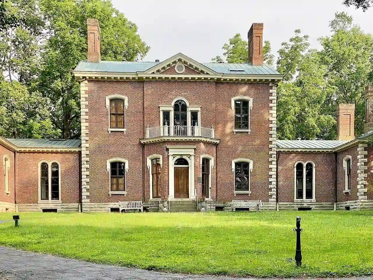
Ashland Park
Laid out in 1904 by the Olmsted Brothers, the Boston firm behind the grounds of the US Capitol and the Louisville park system, on Henry Clay's original 600-acre estate. It took about fifteen years to build out and finished around 1930, which is why the 188.9 acres read as one piece of design rather than a collection of subdivisions: curving streets, deep setbacks and Colonial Revival, Craftsman and American Foursquare houses. Clay's Ashland estate still sits in the eastern part of the neighborhood at 120 Sycamore Road, its grounds designated the Ashland Arboretum in 2018 with more than 400 trees across 44 species. Catalpa Road is the one people photograph, for gingkos that drop their leaves nearly all at once each fall. Woodland Park is on one side, Clay's Spring Park on the other, and the Euclid Avenue corridor is a walk to the south.
Best for: Olmsted-planned streets, mature tree cover, walking to two parks and to Euclid Avenue
Read the Ashland Park guide →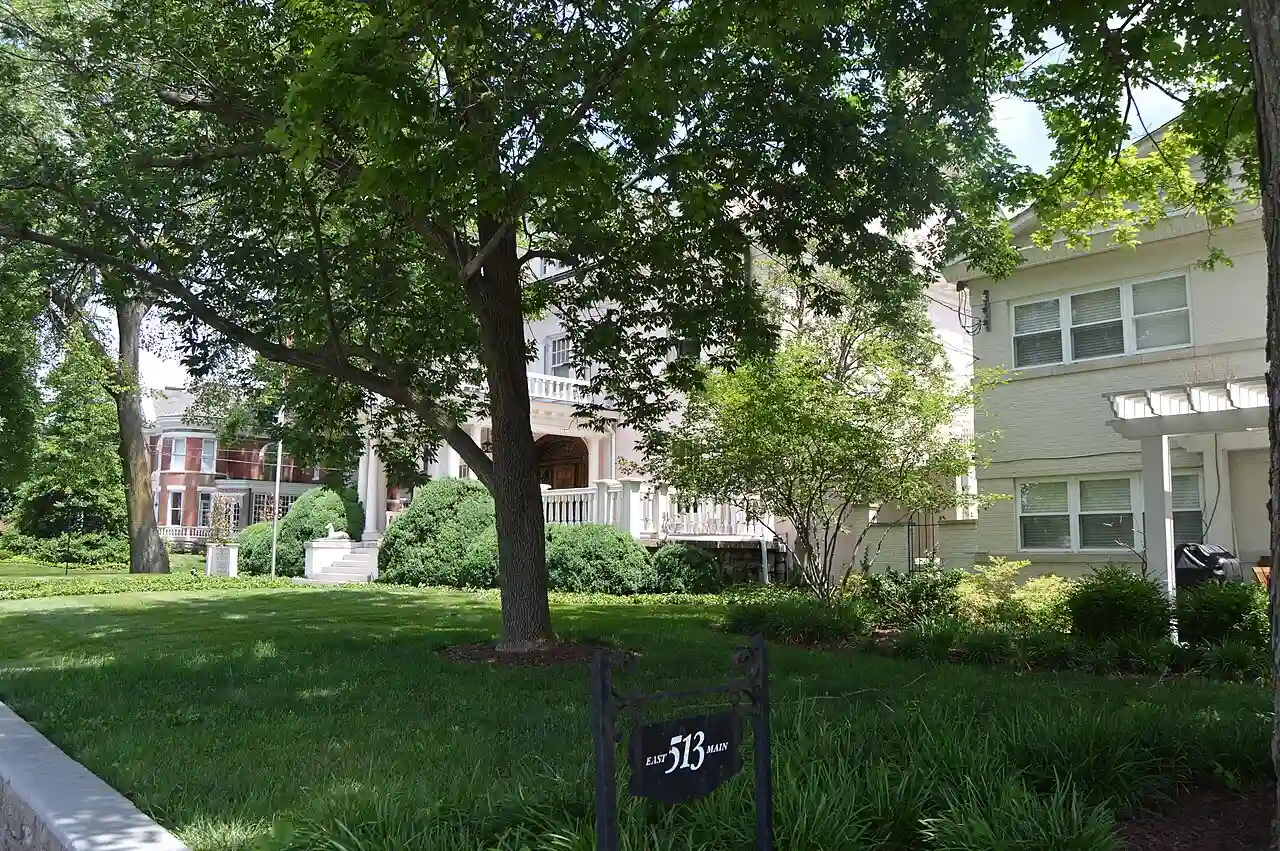
Bell Court
Forty-two and a half acres, about a tenth of a square mile, wedged between Boonesboro Avenue, Walton Avenue, East Main Street and Forest and Delmar Avenues. Inside that footprint are 157 contributing historic buildings, which is one of the densest concentrations in Lexington: Greek Revival and Italianate at the oldest end, Victorian and Queen Anne from around 1900, Arts and Crafts scattered through. It grew up around the Bell House, an 1846 Greek Revival home designed by Thomas Lewinski, which the city bought in 1940 and which now anchors a public park in the middle of the neighborhood. National Avenue is a short walk one way for Mirror Twin Brewing and Eppings on Eastside, East Main the other way into downtown, and the Legacy Trail entrance sits just outside. The Jif plant on East Third Street is close enough to smell, which residents generally count as a feature.
Best for: a tenth of a square mile you can cross on foot, 157 historic buildings, Legacy Trail access
Read the Bell Court guide →Downtown living
Condos, lofts and a handful of historic houses inside the downtown core and the districts wrapped around it.

Downtown Lexington
Not one neighborhood but a cluster: the core around Main Street, Cheapside and the old courthouse, plus Gratz Park, one of Lexington's oldest historic districts, the North Limestone corridor, and Aylesford Place. The Distillery District sits about a mile west on Manchester Street, technically its own district but close enough that downtown residents treat it as theirs. Housing is mostly condos and lofts, with historic single-family houses in Gratz Park and the districts beside it running considerably higher. Rupp Arena and the Lexington Opera House are here, along with the East Main restaurant row and the start of both the Legacy Trail and Town Branch Commons. Five of the city's biggest annual events run on or near Main Street, from the St. Patrick's parade in March to the Thriller parade in late October. The commercial core is on daily collection rather than a weekly cart day.
Best for: walking to Main Street restaurants, condo and loft living, being inside the event footprint
Read the Downtown Lexington guide →Established, inside New Circle
Mid-century subdivisions with grown-in tree cover, a central location, and a shopping center of their own.
Idle Hour
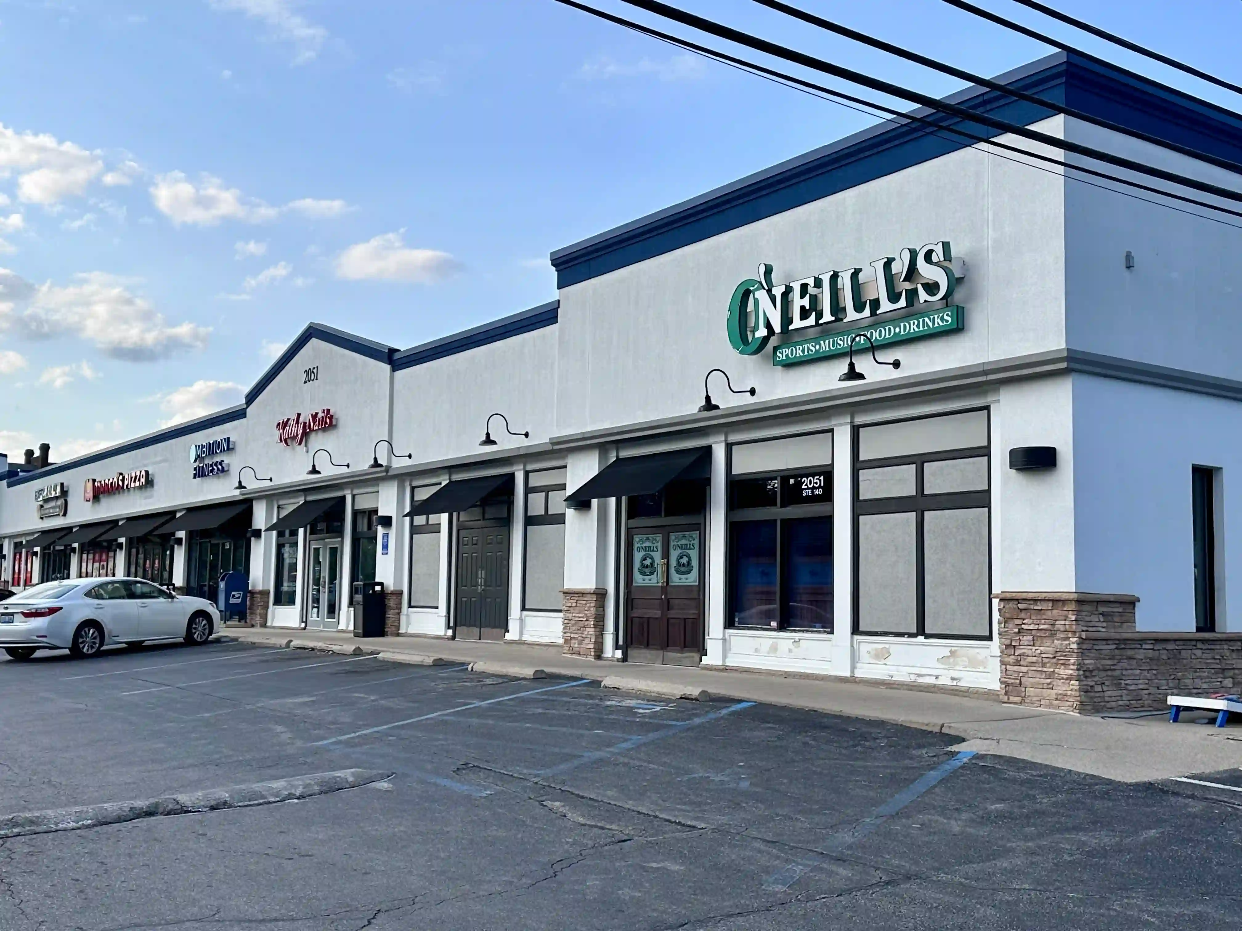
A post-war neighborhood about three miles southeast of downtown along Richmond Road, developed in the 1950s and early 1960s by William Blackerby, who named the streets after his own family with the word Saint attached. That is why the map reads St. Phillip, St. Ann, St. Margaret and St. William. The housing is mid-century ranches and compact single-family houses with small apartment buildings mixed in, on roughly a third of a square mile bounded by the country club, the CSX tracks, New Circle Road and Richmond Road. It was mixed-use before that was a planning word: the Idle Hour Shopping Center at 2051 Richmond Road has anchored the edge for decades and still holds O’Neill’s Irish Pub. The neighborhood also has its own 23-acre park and the Lexington Senior Center, which opened in 2016. The private Idle Hour Country Club has run since 1946.
Best for: mid-century ranches, one-level homes, a shopping center at the edge of the neighborhood
Read the Idle Hour guide →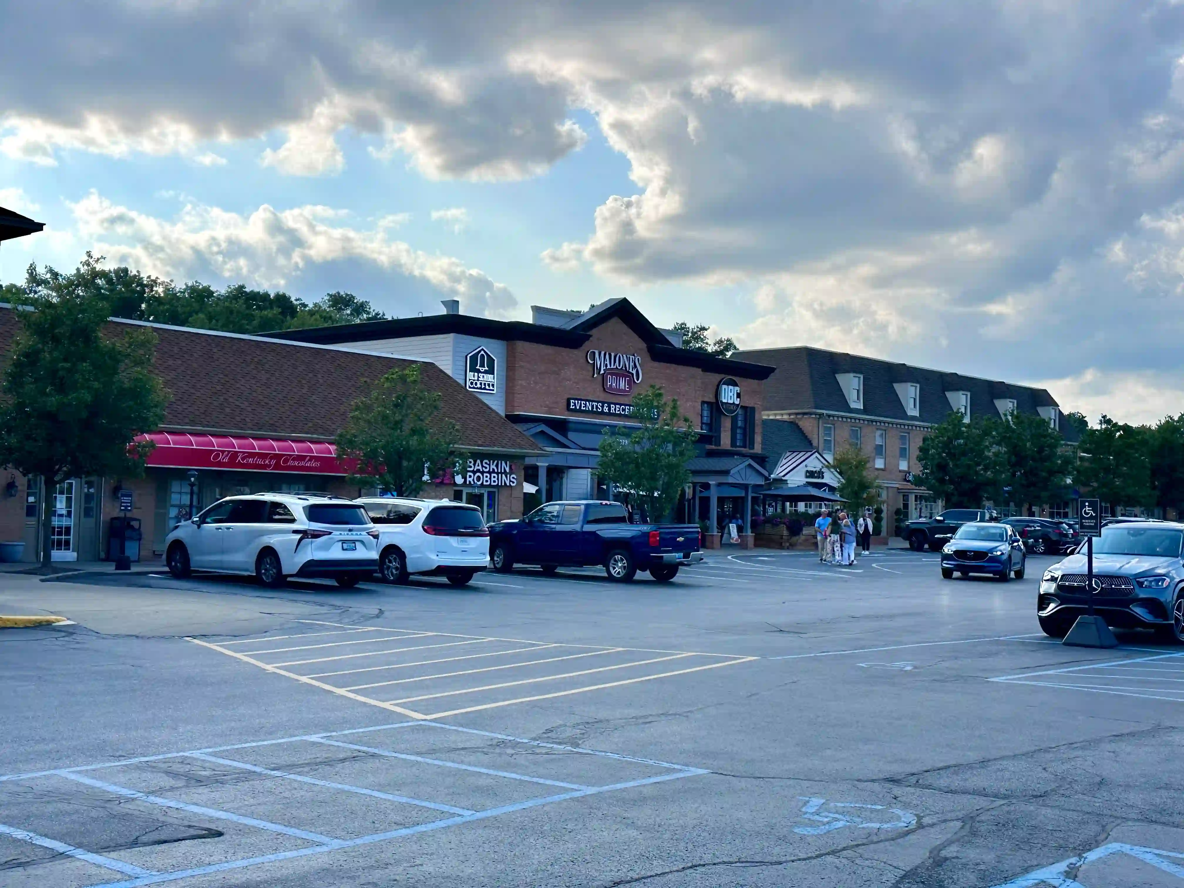
Lansdowne
A settled south-side neighborhood just inside New Circle Road, between Tates Creek Road and Nicholasville Road, with more than a thousand households built largely between the 1950s and the 1970s. The housing mix tells you it grew over a decade or two rather than all at once: ranches, split-levels, Colonial Revivals and traditional two-stories, under tree cover that has had sixty years to fill in. The Lansdowne Shoppes is the retail and dining center and it sits inside the neighborhood rather than a drive away, with The Fresh Market as the grocery anchor, The Mousetrap for soups and sandwiches, Malone’s and Drake’s for a sit-down meal, and The Mad Potter for painting pottery. The Cellar Bar and Grille is on the lower level of the Signature Club of Lansdowne on Lansdowne Drive; the club is private but the Cellar is open to everyone. Lansdowne Elementary is on Redding Road just off the southern edge.
Best for: mid-century ranches and split-levels, a grocery and restaurants inside the neighborhood, a central south-side location
Read the Lansdowne guide →South and southwest
The Southland Drive corridor off Nicholasville Road, and two association areas off Harrodsburg Road on the southwest side, each with a shopping center or a street of shops of its own.
Southland
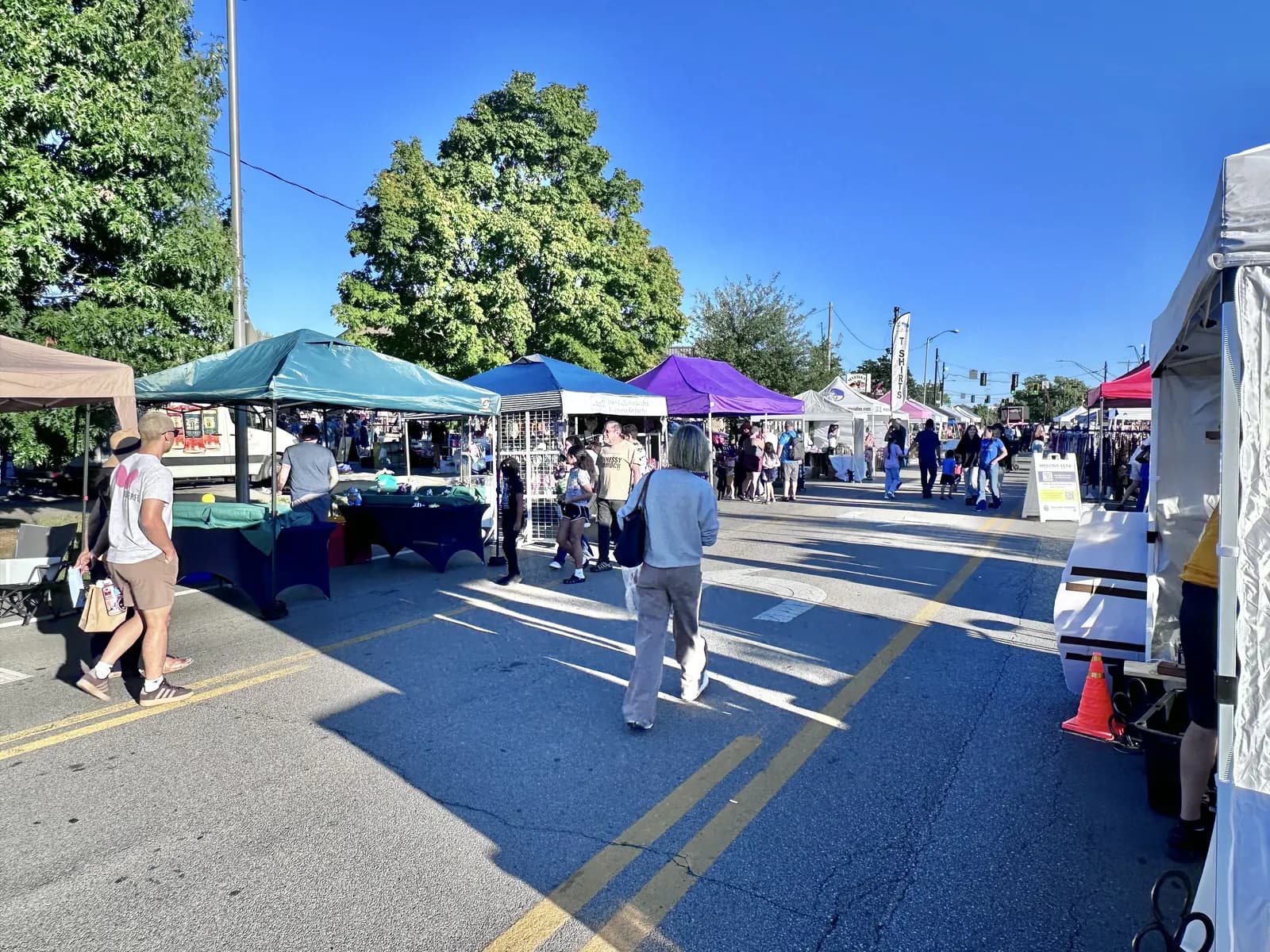
The Southland Drive corridor in south Lexington, from Nicholasville Road to Rosemont Garden, and the seven registered neighborhoods on it or just off it. The shops are on the street itself, among them the Local Lex Market, Marikka's and the Doo Wop Shop, and the Lexington Farmers Market holds its Sunday market there from April through October. The Southland Association, a corridor-wide group laid over the neighborhood associations, puts on the Southland Street Fair every fall. The whole street is in 40503 and collects trash on Monday.
Best for: a Sunday farmers market on the street, the fall street fair, local shops along Southland Drive
Read the Southland guide →Beaumont
The Beaumont Residential Association area in southwest Lexington, between Harrodsburg Road and Man o' War Boulevard with New Circle Road to the north. Beaumont Centre is its retail and office park, and Moondance Amphitheater, a city facility inside the boundary, hosts the free Summer Nights in Suburbia concerts every other Friday in summer and the Southland Jamboree on summer Thursdays. Almost all of it is in 40513 and council district 10, with a Thursday trash day.
Best for: free summer concerts at Moondance Amphitheater, a retail and office park inside the neighborhood, New Circle Road at the edge
Read the Beaumont guide →Palomar
The Palomar Hills Community Association area off Harrodsburg Road near Man o' War Boulevard, about 200 acres that the association places on the eastern edge of Mill Ridge Farm. The association runs a clubhouse with three pools, tennis and basketball courts, a playground and a walking trail. Palomar Centre, the shopping center that carries the name, sits just outside the boundary on Harrodsburg Road, with Sedona Taphouse and John's Run/Walk Shop among its tenants. It is all 40513 and council district 9, with a Thursday trash day.
Best for: an association clubhouse and pools, a shopping center at the edge of the neighborhood, Harrodsburg Road access
Read the Palomar guide →Newer and master-planned
Curved streets, larger and more recent houses, and retail built at the scale of a car rather than a sidewalk.
Hamburg
Southeastern Lexington at the I-75 and Man O' War interchange, Exit 108, built on what was John E. Madden's Hamburg Place, one of the most successful thoroughbred breeding farms in the country. Madden bought a colt named Hamburg for $1,200 in 1896, sold him a year later for $40,001, and bought the farm with the proceeds. Sir Barton, the first Triple Crown winner, was bred here. Anita Madden later named the streets of the commercial development after the horses, which is why you drive Sir Barton Way and Plaudit Place, and the Hamburg Place Horse Cemetery is still a small free park among the big-box stores. Today it is six named retail areas, a medical hub anchored by Baptist Health Hamburg and a UK HealthCare campus under construction, and a 44-acre mixed-use project called Hamburg East. Collection day genuinely varies by block out here.
Best for: new construction, big-box and chain shopping without a drive across town, quick I-75 and I-64 access
Read the Hamburg guide →
Andover
Not one neighborhood but a cluster of six or more subdivisions south of Todds Road that share the Andover name and a common origin: they were developed around a private 18-hole golf and country club in the late 1980s and 1990s. Andover Hills and Andover Forest are the two large named ones, each with its own association, and several smaller villa and townhome associations sit inside or beside them. Which one an address falls in changes the board, the dues, and sometimes the schools and the collection day. The best part of the story is the golf course: the club opened in 1990, went bankrupt and closed in February 2017, and in 2018 six of the surrounding homeowners associations pooled their money and bought all 145 acres for $3.15 million. They own and maintain it as green space and walking trails. Jacobson Park is just west, and Hamburg retail is a short drive north.
Best for: larger houses on larger lots, 145 acres of neighborhood-owned green space, Jacobson Park next door
Read the Andover guide →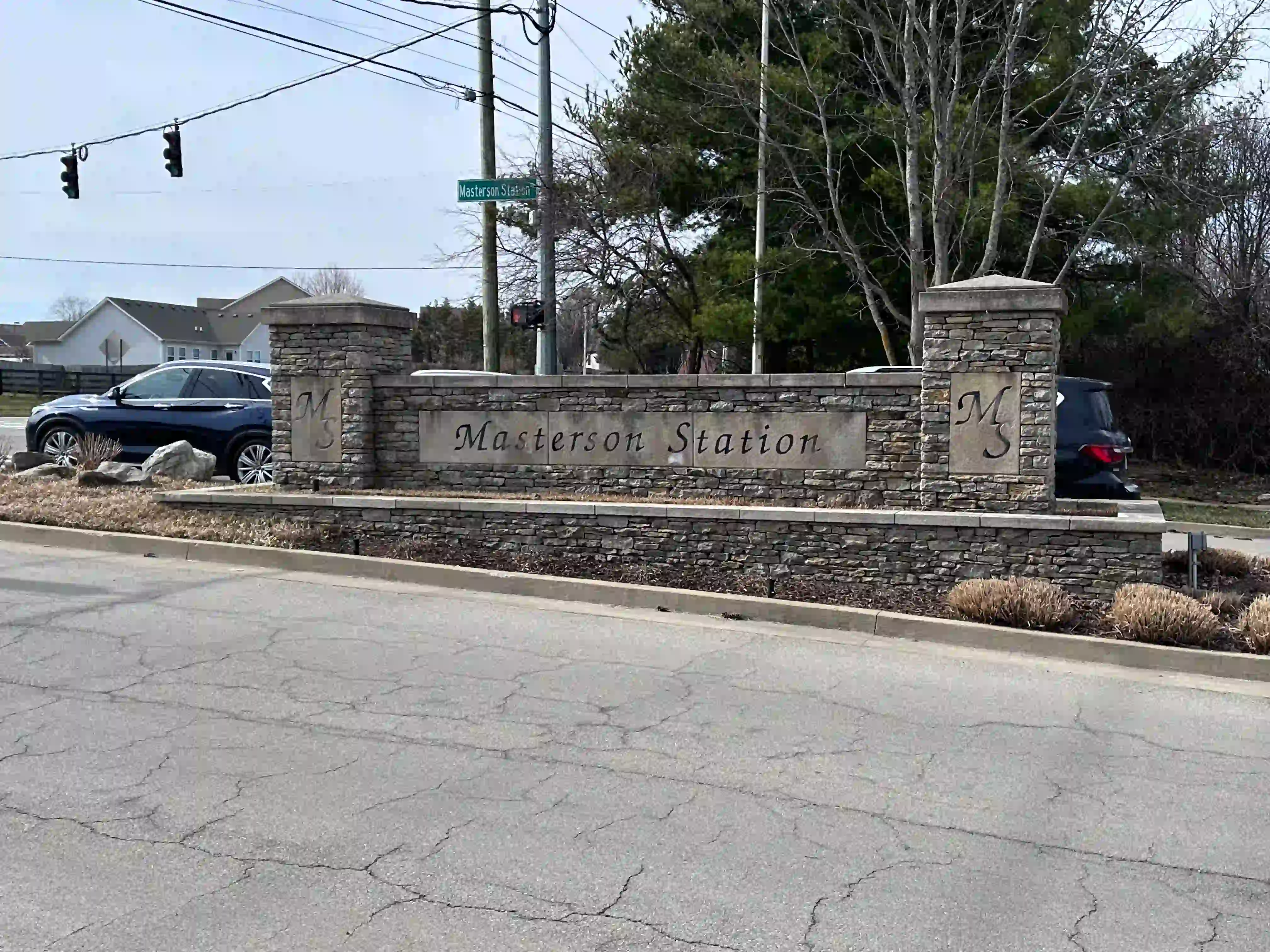
Masterson Station
One of the largest subdivisions in Kentucky, roughly 2,300 homes on the northwest edge of the city, bounded by Masterson Station Park, Leestown Road, Greendale Road and Spurr Road. It was platted in phases from the mid-1990s onward, which is why county records carry four section names: the plain Masterson Station on the earliest plats, then Masterson Depriest, Greendale Hills and Masterson Hills. The park is the reason to be here, over 600 acres with a dog park, 18 soccer fields, a spray ground, a playground, paved and unpaved trails and a full equestrian complex with an indoor arena and a cross country course. The Bluegrass Fair runs there every June. Development along the Lucille Drive extension brought Smashing Tomato, Ramsey’s Diner and Osaka within walking distance of part of the neighborhood, and the whole subdivision collects on Thursday.
Best for: over 600 acres of park at the edge of the subdivision, newer construction, flat streets for running and walking
Read the Masterson Station guide →Where they are
Pinned on the map: Chevy Chase, Downtown Lexington, Hamburg, Ashland Park, Andover, Idle Hour, Bell Court, Masterson Station, Lansdowne, Southland, Beaumont, Palomar. Each pin sits on a landmark or at the center of the neighborhood association boundary rather than on a boundary line, and each guide above gives the actual boundaries.
How Lexington neighborhoods are organized
Lexington's neighborhoods roughly cluster into seven areas.
Central Lexington includes downtown and the historic neighborhoods that border it, like Chevy Chase, Ashland Park, Kenwick, and Bell Court. These areas offer walkability, older homes, and easy access to UK and downtown.
East Lexington includes Hamburg, Andover, and Idle Hour. Hamburg and Andover are newer suburban areas with shopping, new construction, and larger lots. Idle Hour sits just inside New Circle Road and wraps around Idle Hour Country Club.
South Lexington includes Lansdowne, Wellington, and Tates Creek. These areas balance suburban living with proximity to downtown, and feed into schools like Lafayette High School. Southland, the Southland Drive corridor off Nicholasville Road, is on this side of town too.
Southwest Lexington includes Beaumont, located near the airport off Harrodsburg Road, and Palomar, farther out Harrodsburg Road.
West Lexington includes Garden Springs and Cardinal Valley. These areas offer more affordable homes with quick access to Versailles Road and the airport.
Northwest Lexington includes Masterson Station and Meadowthorpe. Masterson Station is a master-planned community on the far northwest edge. Meadowthorpe is a historic 1950s neighborhood off Leestown Road.
Northeast Lexington includes Northland, situated north of downtown just inside New Circle Road with easy interstate access.
How to choose
Five things worth checking against a specific address before you fall for a neighborhood.
School zone. Fayette County Public Schools assigns students by address, and the lines twist street by street in the older neighborhoods, so a guide can tell you the likely schools but not yours. Check an address against the Lexington school zone lookup.
Trash day. Five of the twelve neighborhoods here straddle more than one collection area, so the day is a property of your block rather than your neighborhood. The trash pickup map and address lookup gives the answer for one address.
Council district. Who represents you, and which district office handles a pothole or a zoning notice, also changes inside some of these neighborhoods. The city council district lookup names your district and your council member.
Neighborhood association. An active association is the difference between a place that organizes and one that does not, and it is also how you find out what a neighborhood is actually arguing about. The directory of every registered association lists all 209 of them with a lookup, which is also the fastest way to answer “what neighborhood am I in” for a specific address.
Reported crime. The Lexington crime map shows reported incidents by location, from police open records. It does not rank neighborhoods and neither does this page. If you want the longer version of what that data can and cannot tell you, there is an honest local take on Lexington safety.
Frequently asked questions
What are the best neighborhoods in Lexington, KY?
It depends entirely on what you are optimizing for, which is why this page leads with a table instead of a ranking. If walkability is the priority, Chevy Chase is the one this site calls the most walkable, with Ashland Park and Bell Court close behind. If you want the newest construction, look at Hamburg, Andover and Masterson Station. If a short trip to the University of Kentucky matters most, Chevy Chase borders the campus and Ashland Park is a mile and a half from downtown.
What is the safest neighborhood in Lexington?
This site does not name one, and it does not rank Lexington neighborhoods on safety. What it publishes instead is a crime map built from Lexington Police open records, where you can look at any address and see reported incidents by location. Incident counts do differ by area, and the map lets you check the specific blocks you are considering rather than take a label for a whole neighborhood. There is also a longer piece on the site, an honest local take on Lexington safety, about what the data can and cannot tell you.
Is Lexington a good place to live?
For a lot of people yes: it is a mid-sized city with a real downtown, a university, low traffic by the standards of anywhere bigger, and housing that still costs less than most comparable cities. The honest other side is that public transit is thin, you will need a car, and salaries tend to run below the national average for the same work. The moving guide on this site goes through the trade-offs in detail.
What neighborhood am I in?
Use the address lookup on the neighborhood associations page. It takes a street address and returns the registered neighborhood association whose boundary contains it, which is the closest thing Lexington has to an official answer. Bear in mind that plenty of well-known areas are not formal associations, so a lookup can come back empty for a place people still name in conversation.
How many neighborhoods does Lexington have?
There are 209 neighborhood associations registered with the Lexington-Fayette Urban County Government, and this site publishes all of them with their council district and collection day. That is the closest thing to a count, but it undersells the number of neighborhoods: many well-known areas have no formal association at all, and some associations cover a single townhome development rather than a neighborhood.
Which Lexington neighborhoods are closest to downtown and to UK?
Measured as a drive to the courthouse block on North Limestone, Downtown is about half a mile, Bell Court about a mile, and Chevy Chase and Ashland Park each about a mile and a half. Idle Hour is about three miles, Lansdowne and Southland each about three and a half, Beaumont about four and a half, Masterson Station about five, Hamburg and Palomar each about five and a half, and Andover about six and a half. For the University of Kentucky specifically, Chevy Chase borders the campus along Cooper Drive, and Ashland Park is the next one out.
Where are the newest homes being built in Lexington?
On the east and northwest edges. Hamburg, Andover and Masterson Station are the three neighborhoods on this page built most recently, and construction has not stopped: Ball Homes currently lists active new-construction plans in the Masterson Hills area on the northwest side, and the 44-acre Hamburg East project finished its infrastructure in 2025 with apartments still to come. Masterson Station also has a new elementary school under construction on Greendale Road inside the subdivision.
What is the most expensive neighborhood in Lexington?
Chevy Chase and Ashland Park are the two at the top. Chevy Chase home prices are among the highest in Lexington, and Ashland Park sits above it at the upper end, where estate-style houses run into the millions. Both are small, historic and low-turnover, which is most of the reason. The table above gives the range each neighborhood guide states.